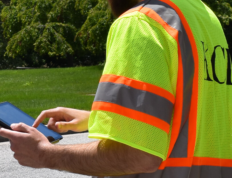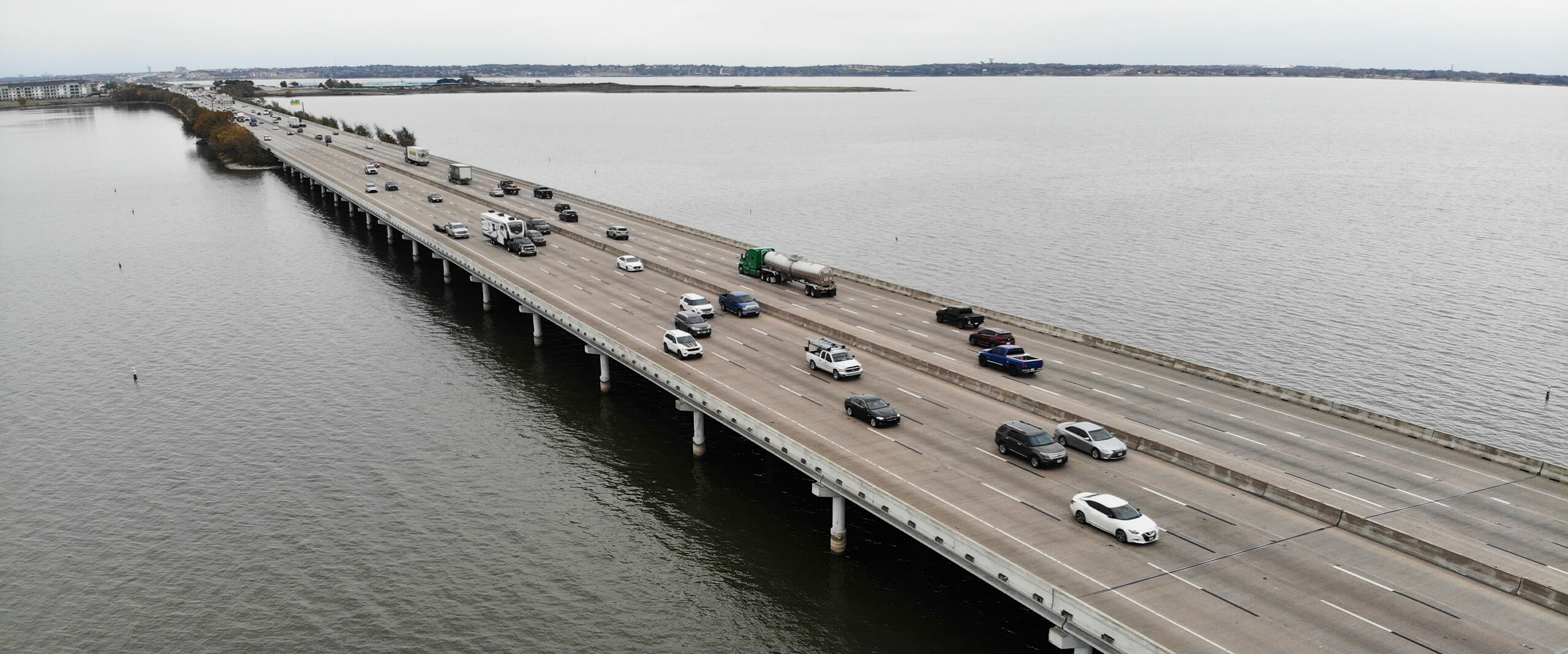
In preparation for planned improvements to Interstate 30 (IH-30), TxDOT asked KCI to locate and mark existing AT&T cables on the shore and in the lakebed of Lake Ray Hubbard.
The project, which would include widening of the IH-30 main lane bridges, new frontage road bridges and causeways crossing the lake, required our team to locate three utilities and designate to an underwater depth of approximately 35 feet. While a previous SUE study obtained by TxDOT indicated that the lines in the lakebed were parallel to and north of the IH-30 westbound causeway and bridges, AT&T was unable to confirm the horizontal location of the existing facilities in relationship to the proposed highway improvements.
KCI’s SUE group and dive team collaborated to determine the best and most efficient method to accurately locate the utility lines. Their unique solution entailed tethering pool noodles to the cables along the alignment and then mounting a multi-beam sonar device to the bottom of the dive boat to map the submerged markers. Despite numerous technical challenges, including a breakdown while transporting the dive boat, the project was completed cost effectively with only 76% of the total budget spent.