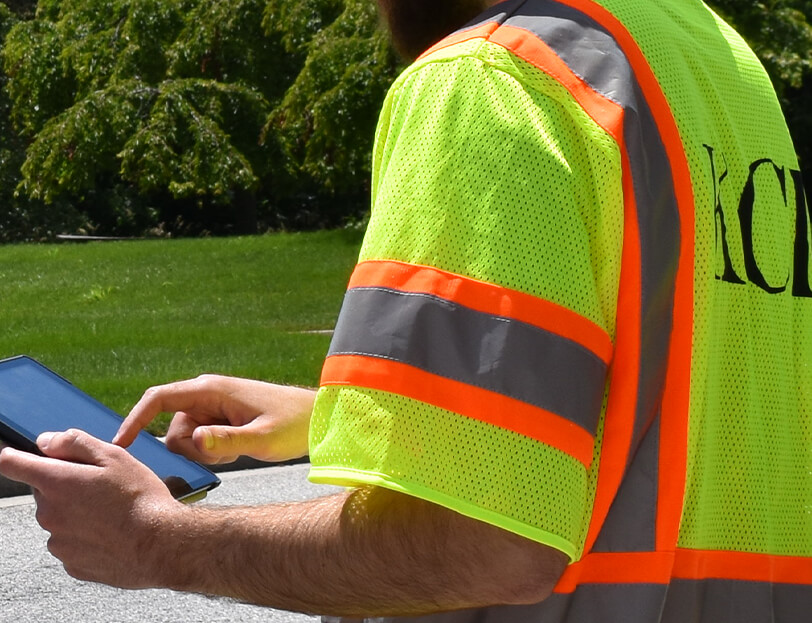
Responsible for the provision of infrastructure, Knox County’s Department of Engineering and Public Works sought to understand where improvements could have the greatest impact on pedestrian activity associated with walk-to-school trip types.
Given the large number of schools and students (86 and 59,276, respectively), the variety of land use contexts, and a specific budget allocation for making non-motorized improvements, an automated process was necessary for estimating likely walk-to-school trips and determining sidewalk construction priorities. KCI assisted in the estimation and mapping of walk trips based upon their development of a unique non-motorized trip modeling process. A GIS model was specifically molded for Knox County using fine-grained student-school data as well as a nationally recognized distance impedance curve that was adjusted by the team specifically for walk-to-school trips in order to best estimate the impact of distance on walk trip probability. The model yielded the likelihood for each student to walk to their zoned school based upon several assumptions, including the existing street network that would be used to make the trip, the shortest distance that would be taken, and that these roadways (aside from pedestrian-prohibited roadways) were suitable for non-motorized users.
Mapped walking trip estimates allowed capital planners to understand where the greatest pedestrian demand and/or potential exists in relation to the existing sidewalk network yielding a focused starting point for pedestrian project planning. The GIS data was flexible enough to allow technical staff to evaluate a number of potential approaches in prioritizing walk-to-school needs, giving the county one more tool to help meet the critical objective of keeping its students both safe and healthy.
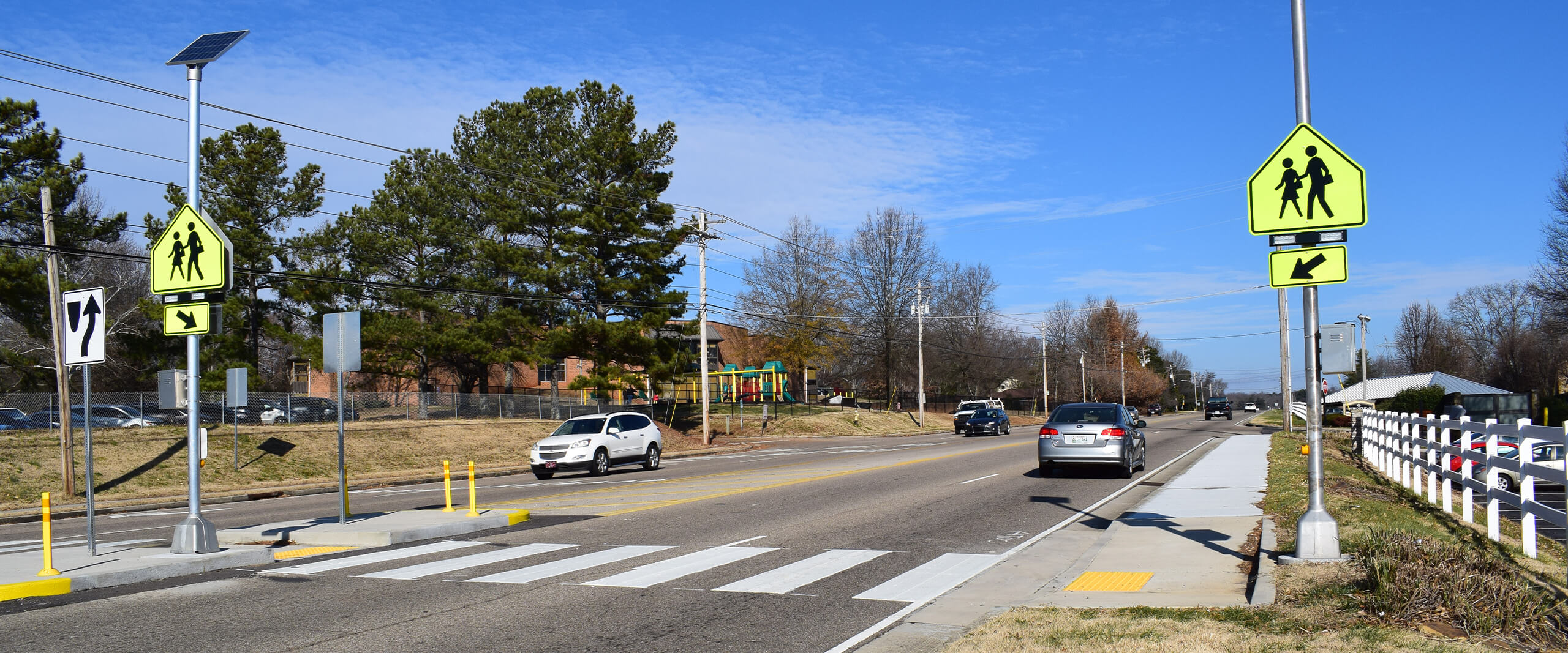
Engineers then worked with the county to further refine a priority schools list, identifying top locations for infrastructure improvements surrounding these schools and developing concept plans. Low-cost improvements that were identified included the addition of new sidewalk connections, filling gaps within the existing network, construction or formalization of trails and/or greenways using easements, identification of key parcels for requiring the installation of sidewalks as development occurs, improving pedestrian crossings, and the development of a neighborhood route and encouragement plan for specific residential areas. Concept plans were developed for 16.5 miles of sidewalk, 7.3 miles of off-road trails, eight intersection improvements, and 12 unsignalized crossing improvements, as well as other miscellaneous improvements.