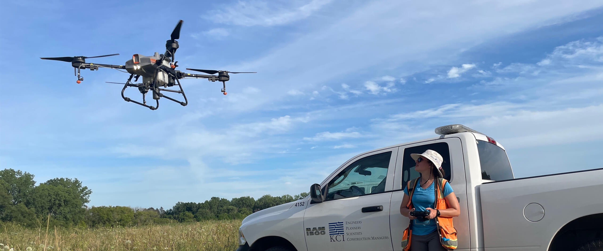
For natural resource management, drones are an effective, highly efficient and safe method used for land and water monitoring and management projects.
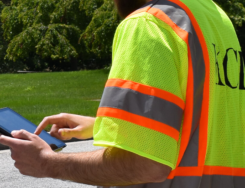
KCI’s fleet of nearly three dozen drones and growing team of FAA-registered and licensed drone pilots are available to support our clients nationally with remote monitoring, site inspections, and imagery. We have the expertise to quickly monitor and record large areas to document grants, conservation easements, and land management contracts. This technology is particularly effective for sites where access is challenging or dangerous, including wetlands, shorelines, and steep slopes.
Services Offered
Aerial site inspections & imagery
Invasive species management
Aerial seeding
Aerial and terrestrial LiDAR scanning
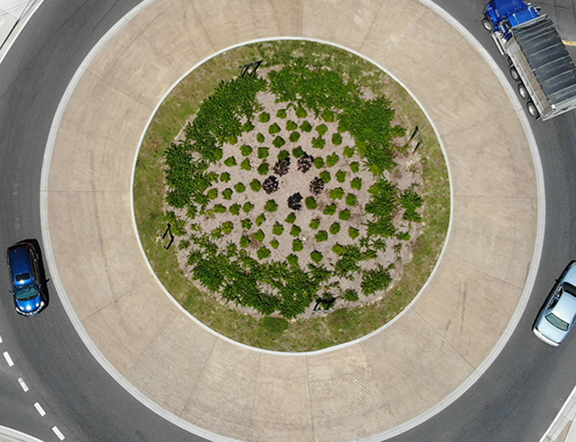
High resolution aerial mapping
Thermal mapping
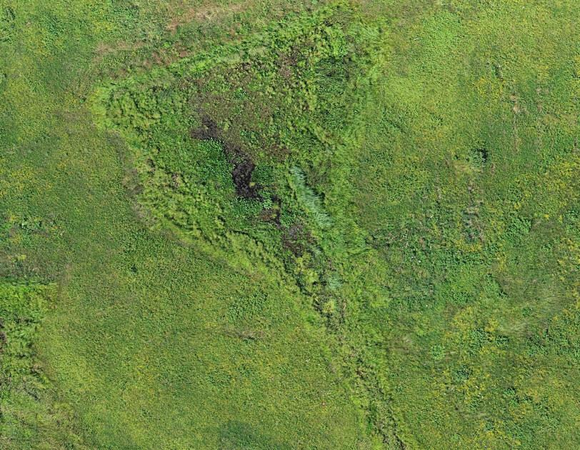
Our advantage is our ability to collect, process, and interpret data collected by the drones, including using LiDAR for mapping highly accurate site topography. The aerial imagery is beneficial in restoration and construction activities, identifying depressional areas for wetland delineations, capturing pre and post construction data, and identifying areas of erosion. KCI’s team of aerial land management experts can help organizations record photos and videos, develop maps and management plans, monitor sites, collect temperatures and topography data, seed sites, and apply herbicides.
We efficiently capture custom high-resolution and geo-referenced images, creating accurate maps for planning and land management.