To support the longevity of the 525-mile New York State Canal System, the NYS Canal Corporation engaged KCI to conduct detailed structural inspections, surveys, and provide maintenance insights to inform future preservation efforts.
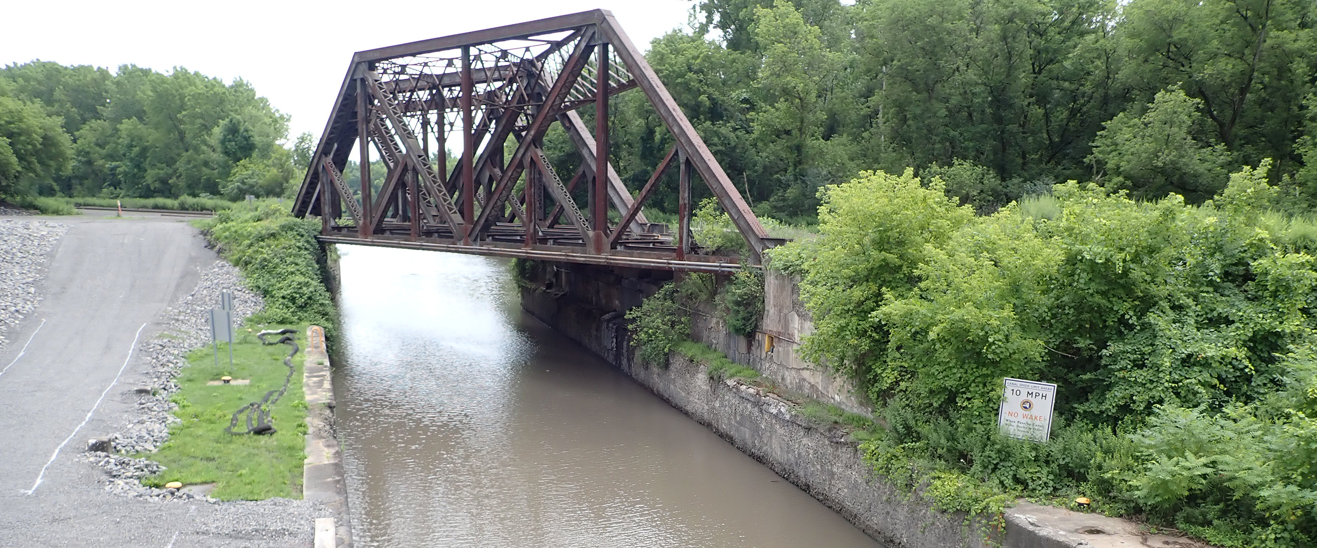
Originally established in 1918, regular upkeep is imperative for the continuity of the canal, which is responsible for linking Lake Erie in the west to the Hudson River in the east. To ensure the system remains in long-term operation, KCI examined all related canal infrastructure, including locks, gates, guide structures, movable dams, lift bridges, spillways, retaining walls, retention dams, slips, culverts, and canal way trails. Various technologies were used to complete all inspections, including LiDAR, photogrammetry, multibeam, and side-scan sonar, which provided the structural inspection team with highly accurate and precise 3-D model developed using drone-based Structure-from-Motion (SfM) photogrammetry and geospatially referenced point clouds. The surveys were then used in the field for underwater inspections, by identifying targeted areas of concern prior to having a diver even enter the water. This innovative approach drastically enhanced the overall efficiency of inspection operations, resulting in a more efficient timeline and reduction in costs. It also reduces the required crew sizes, increases crew and observers’ safety, and inherently reduces costs of mobilization and inspection.
Once all inspections and surveys were completed, derived data was arranged into reports in accordance with the NYSCC’s Canal Structure Inspection Manual (CSIM). Each report featured thorough documentation of the completed surveys, including above-water and underwater photography, field sketches, summaries of findings, and repair recommendations. Using Pix4D software, KCI also developed a standardized supplementary UAS Imagery Report format that features the high-resolution 3D model developed using drone-based SfM photogrammetry.