The New York City Economic Development Corporation (NYCEDC) is the largest owner and operator of waterfront property in New York City.
Their assets include city- and privately-owned industrial, commercial, retail properties and facilities, as well as unique transportation and cultural hubs, such as heliports, ferry landings, rail yards, parking facilities, a stadium, and a substantial portion of the City’s waterfront infrastructure.
KCI is providing NYCEDC’s Asset Management Group with critical assessment data for each waterfront facility. Our reports include condition ratings, remaining service life, necessary repairs, vulnerability to sea level change, and recommended next steps. NYCEDC is utilizing this information to inform decisions that affect long term capital planning and allocation.
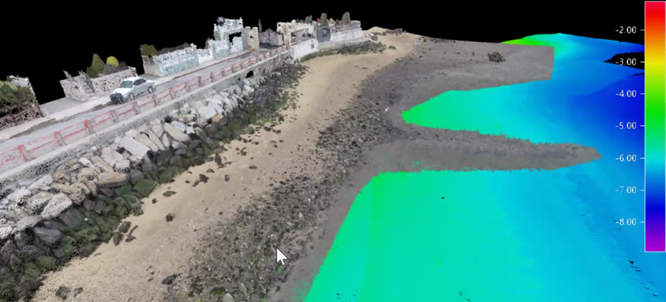
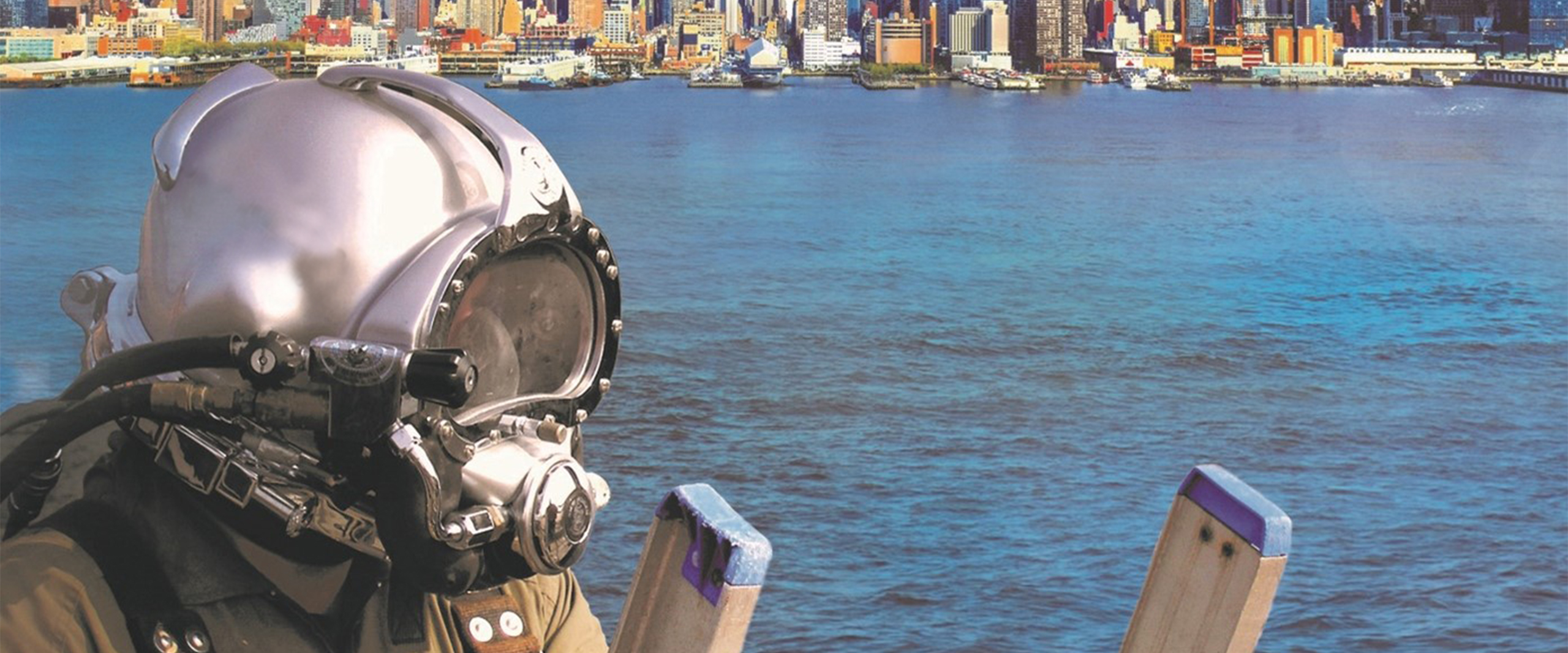
Our in-house engineer divers have completed over 50 task orders consisting of underwater and topside inspections, aerial and bathymetric surveys, and design documents for reconstruction and repair. KCI also implemented the latest survey techniques to quickly and accurately assess waterfront conditions above and below the waterline. For example, as part of a baseline inspection and survey of approximately 1,000 feet of seawall and riprap shoreline, our FAA-certified drone operators utilized Structure-from-Motion (SfM) photogrammetry methods for an aerial survey of the site. Simultaneously, our survey team utilized multibeam hydrographic survey technology to assess the underwater conditions. The data collected was produced into a precise reality capture model. The model is a three-dimensional, interactive “reality capture” of the environment that renders elements from the size of a tiny pebble to entire city structures. Once produced, the 3D models can be navigated, inspected, measured, and zoomed in and out of, giving clients a fully explorable and easily accessed digital deliverable without going out to the site.