The Catawba Ward of The Church of Jesus Christ of Latter-day Saints engaged KCI to inventory existing graves throughout their cemetery and design a layout for future use.
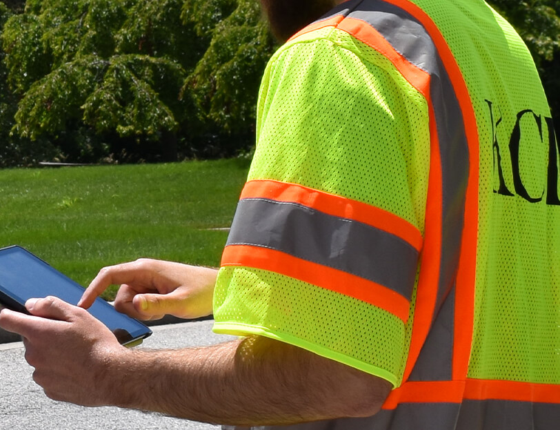
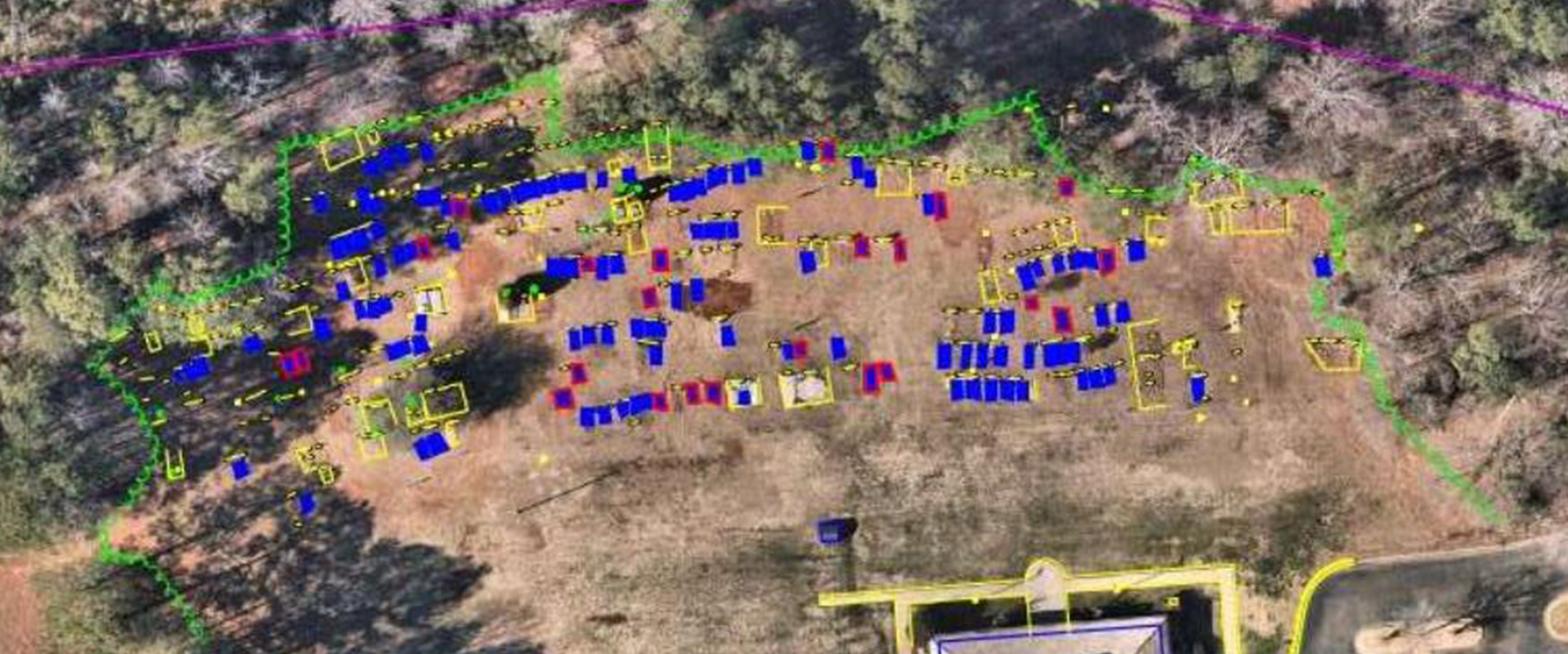
Historically used by members of the Catawba Nation, the cemetery had developed over many decades with numerous unmarked and irregularly spaced graves, requiring a modern approach to document existing burial sites and identify available plots. Our team deployed advanced 3D ground penetrating radar (3D-GPR) technology, one of the first projects at KCI to use this application for surveying and mapping underground structures. The data collected was combined with GPS surveying to accurately locate GPR findings, visible headstones, and other physical indicators of burial sites.
Based on these results and client-provided spacing criteria, the team developed a clear, alpha-numeric map of 634 existing and future plots. KCI worked closely with church representatives through several layout iterations to ensure the final design would meet the church’s long-term needs and be easy for a layperson to use. This effort preserved the history and dignity of past burials while providing a structured framework for future needs. The project also allowed our team to support the Catawba Nation indirectly by assisting the church that serves many of its tribal members.