Explore All Site Development Services
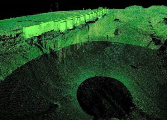
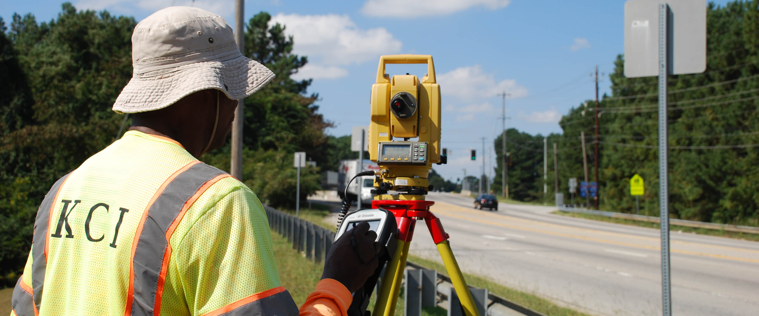
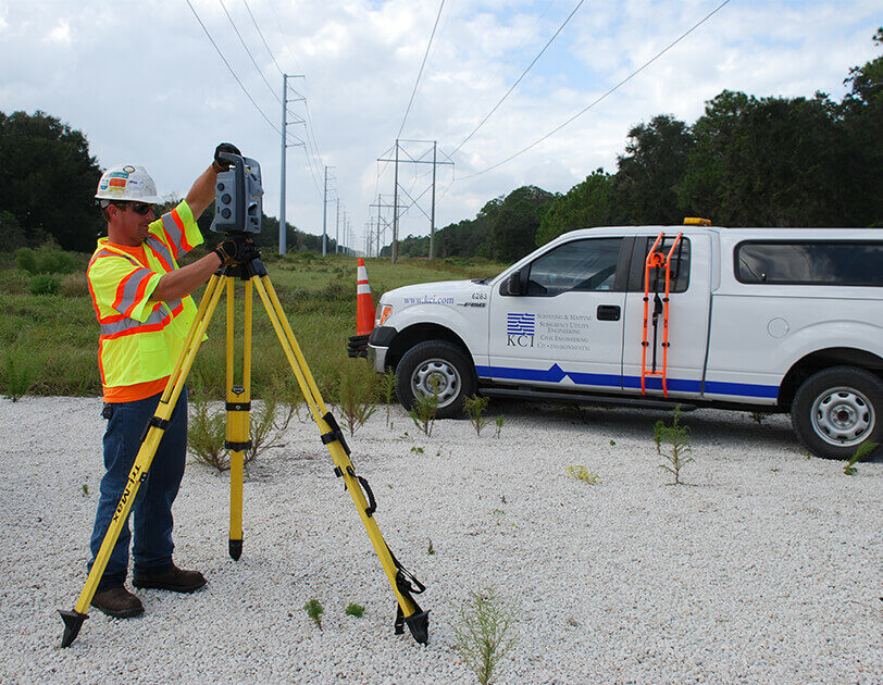
KCI performs comprehensive surveying services, from construction layout of high-rise structures to detailed 3D laser scanning.
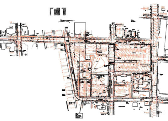
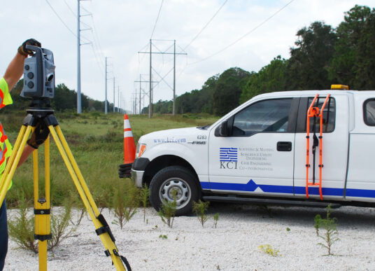
Our experienced staff of land surveyors provides a wide variety of services for commercial and residential developments, buildings, highways, bridges, utilities, waterways and property acquisitions. We consistently apply unique approaches using the latest technologies to provide quality and timely services, no matter the size of the project.
Our licensed professionals and skilled technicians serve a diverse client base that includes state and federal agencies, transportation departments, local governments, utility companies, developers and private organizations and contractors. With offices throughout the country, KCI offers our clients a detailed understanding of regional regulatory requirements and market conditions.
Services Offered
3D laser scanning
Boundary surveys
Topographic surveys
Control surveys
As-built surveys
Construction stakeout
Hydrographic surveys
Elevation certifications
Infrastructure layout
High-rise construction stakeout
KCI utilizes a wide range of field and office practices, including 3D laser scanners, robotic survey instruments, and drafting packages such as MicroStation and AutoCAD. Through our long-standing relationships with other professionals, we can also provide the latest in mapping service, such as GPS controlled photogrammetry, low altitude mapping photogrammetry (LAMP), light detection and ranging (LiDAR) mapping, and mobile scanners.
Engineering and land surveying services provided in North Carolina are performed by our associated entity, KCI Associates of North Carolina, P.A.
From project concept to completion, our field and office team can help with nearly every survey-related need.