
By Nate Kersey
Technical Lead
Survey & Mapping
Utility owners and operators are managing increasingly complex systems while continuing to rely on established inspection practices.
Much of today’s electric infrastructure is aging, while new load growth and evolving demand patterns place additional pressure on transmission and distribution networks. At the same time, expectations around reliability, safety, and regulatory compliance remain unchanged.
Traditional field methods remain effective, but they are often constrained by access, timing, and available resources. In fast‑moving environments, particularly at the distribution level, repairs can occur quickly and limit opportunities to consistently document system conditions. As a result, utilities are evaluating additional inspection and data‑collection tools that can supplement existing practices and better connect field observations directly to engineering workflows and deliverables.
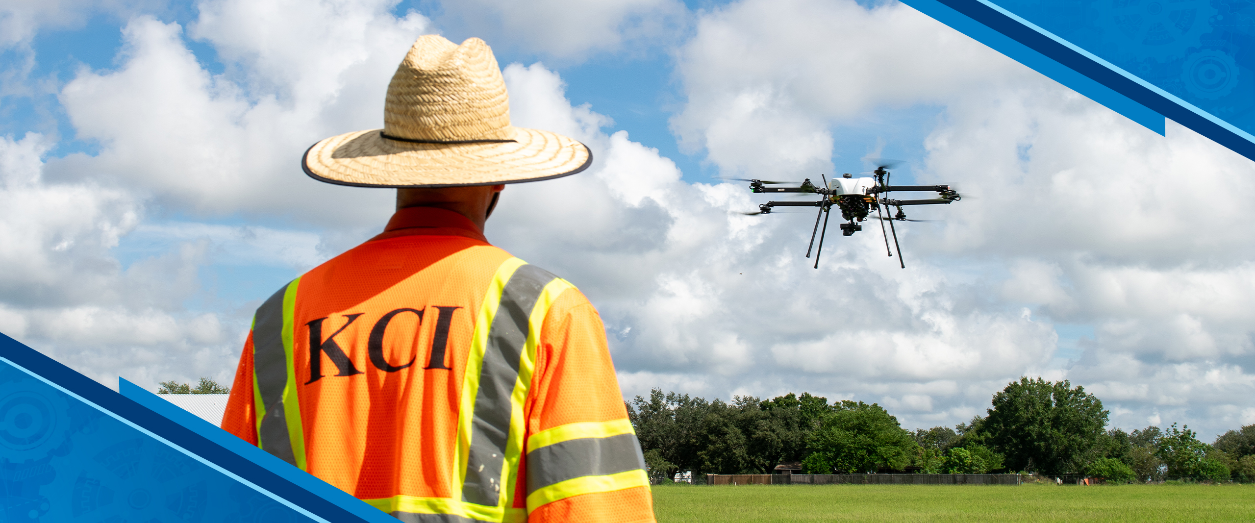
Expanding System Visibility Through Aerial Inspection
UAV‑based inspections provide utilities with another way to observe system conditions at scale. Using remote sensing technologies, inspection data can be collected across multiple structures, spans, or corridors during a single deployment. This approach improves system visibility while reducing the need for close physical access to energized or difficult‑to‑reach assets.
Aerial inspections are not intended to replace established practices. Instead, they complement traditional field observations by capturing consistent, engineering‑grade documentation that can be reviewed, measured, and carried forward into analysis and design beyond the time of inspection.
Inspection Data Types and Use Cases
UAV inspection programs can be tailored to collect specific data types based on project scope and system needs.
- High‑resolution visual imagery supports condition assessment by documenting hardware configuration, material wear, corrosion, and visible structural deficiencies.
- Thermal imagery provides additional context by identifying temperature anomalies that may indicate loose connections, failing components, or overloaded equipment.
- LiDAR and other spatial data products provide precise measurements used to support engineering analysis, vegetation management, clearance evaluation, and longer‑term planning.
When used together, these datasets can provide broader system context and support a more comprehensive understanding of conditions across targeted portions of the network.
Supporting Safety and Operational Efficiency
One of the most immediate advantages of UAV deployments is the ability to collect data without requiring direct access to equipment. By reducing the need for climbing or placing workers in close proximity to energized assets, aerial operations help mitigate field exposure while maintaining and extending coverage in hard‑to‑reach areas.
From an operational perspective, UAV inspections can also decrease the time required to document conditions across multiple assets, particularly where access or resource constraints make traditional methods inefficient. Limiting repeat field visits allows engineering teams to work from complete, consistent datasets while focusing field resources where they are most needed.
From Inspection Data to Engineering Context
With UAV adoption increasing, many service providers have focused primarily on data acquisition. While these datasets can be valuable, utilities often face challenges integrating results into existing workflows, prioritizing findings, and translating inspection data into clear next steps. The goal is not to replace professional judgment, but to allow technical staff to focus their time on validation and solution development by streamlining repetitive review activities.
KCI approaches UAV inspections as an extension of its utility services. Results are reviewed by professionals familiar with utility standards, ensuring findings are evaluated within established practices. This allows field data to directly support maintenance planning, targeted field verification, and engineering deliverables, rather than existing as standalone inspection products. Our team also continually develops internal workflows that apply automation to specific tasks such as asset identification and anomaly flagging, while maintaining a deliberate, human‑reviewed process.
Looking Ahead
As UAV inspections become more embedded in utility programs, the value of aerial data increasingly depends on how effectively it can be translated into engineering deliverables. Field collection alone does not close the loop; inspection data must be structured, reviewed, and developed in a way that supports analysis, design decisions, and defensible documentation.
At KCI, we continue to focus on integrating aerial inspection data directly into established engineering workflows. By connecting field data to analysis, reporting, and design deliverables, UAV inspections can serve not only as a visibility tool, but as a practical input to engineering decisions that support safe, reliable, and resilient utility systems. To learn more about how KCI’s remote sensing and engineering expertise can support your utility inspection program, contact us.